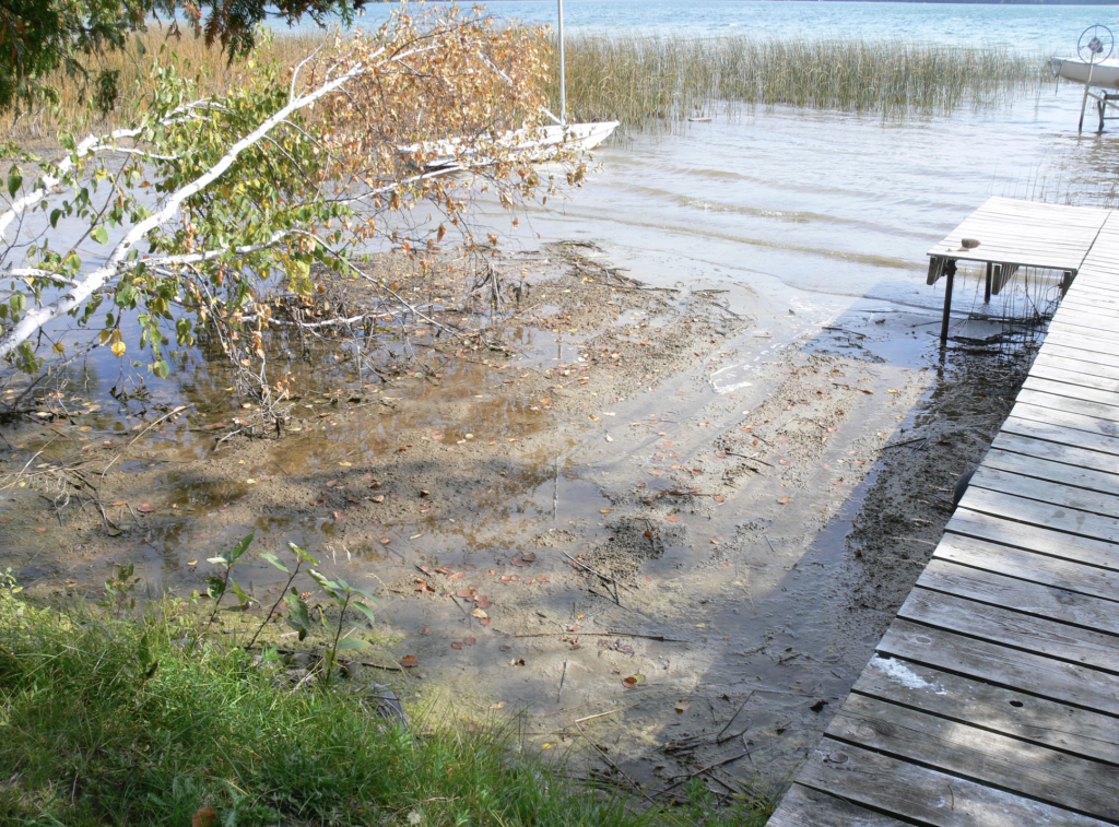
Deer Lake was at a record high this Summer, 2025.
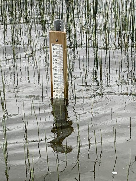
The DNR Water Level Gauge installed for the 2026 season. Currently Deer Lake is at its “normal”, median level.
Both Deer and the Creek from Moose and Little Moose flow into this intermediary Bay Lake, and then together as the headwaters of the Deer River to the Dam. Waters from the north (Moose and many smaller lakes) do not flow into Deer Lake, but from Bay, with Deer, along the Deer Rive to the Dam. Although the elevations between Moose, Deer, Bay and the Dam are slight, the flow includes no mixing of Deer and Moose Lake waters. This is important because Moose Lake has been infected by Zebra Mussels.
The hydrology graphs below show the lake level fluctuation of the 2025 summer season. Like recent years there has been an increasing degree of change, from high to low at the end of the summer.
The 10 year graph shows recent trends.

Finally, here is the full Historical Record of Deer Lake’s Lake Level”
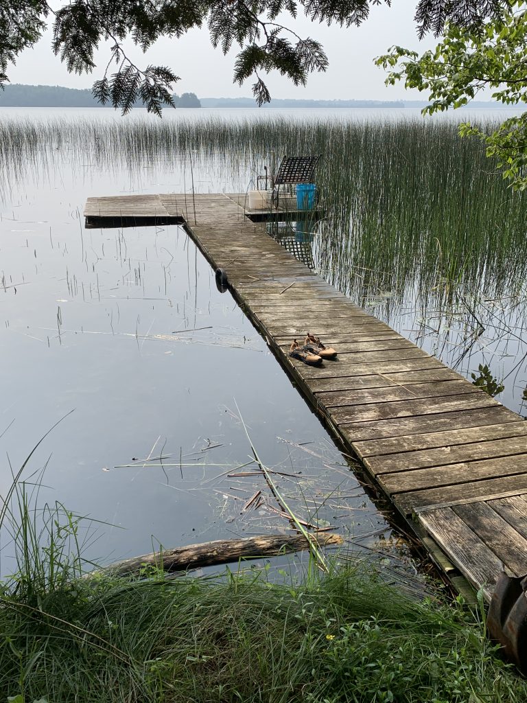
Of interest is the increasing variance between high and low lake levels. Photos below show just how high and low the lake has bee in recent years, with the same dock, same height, as reference. The Low was from August 2021, the high water from July 2025.