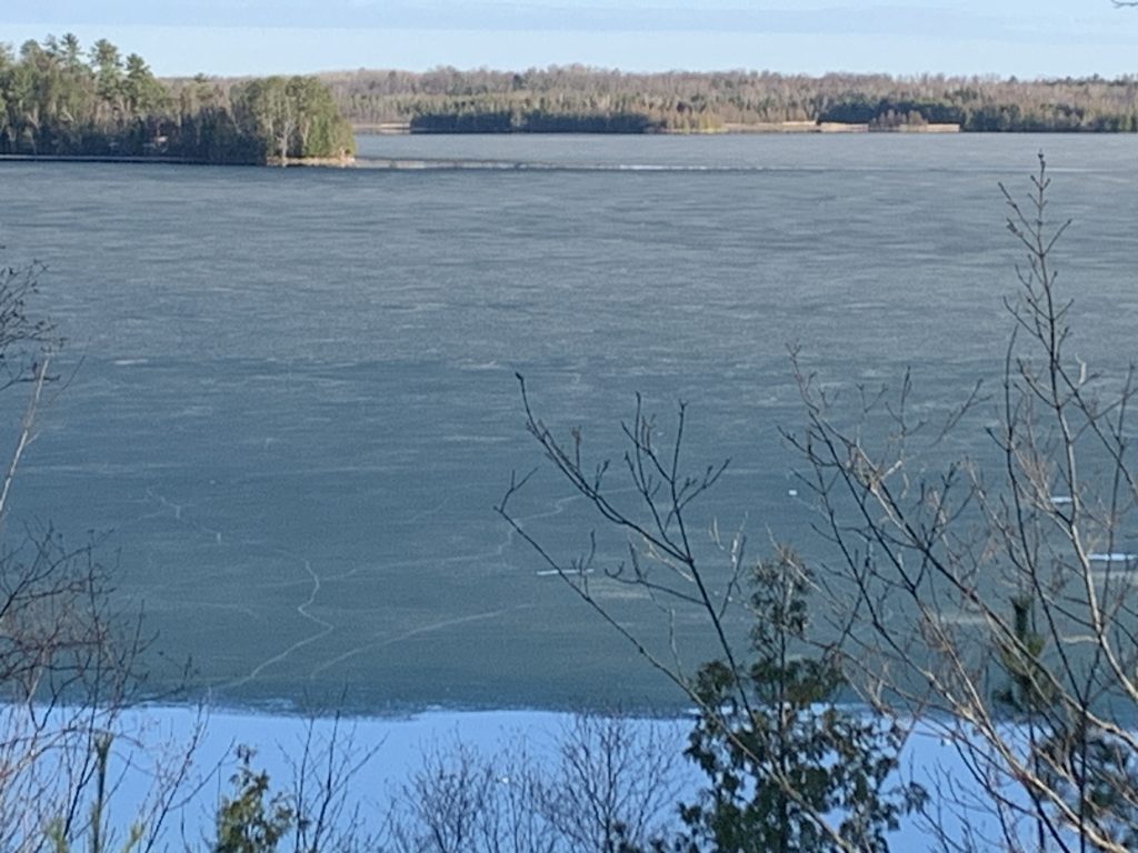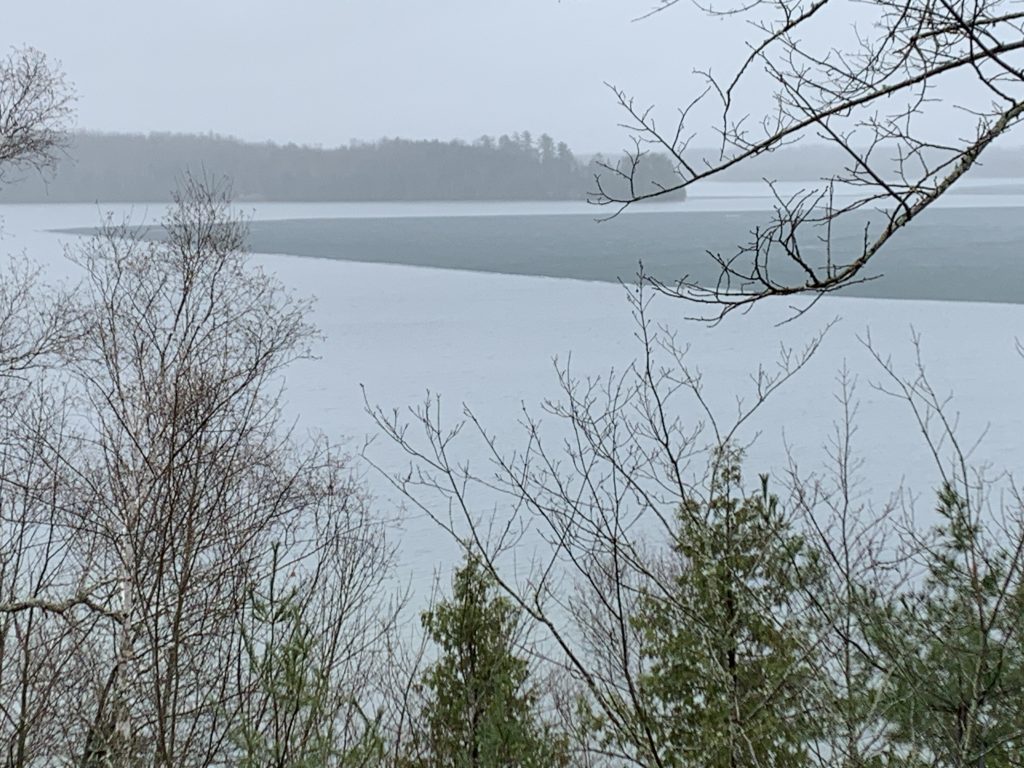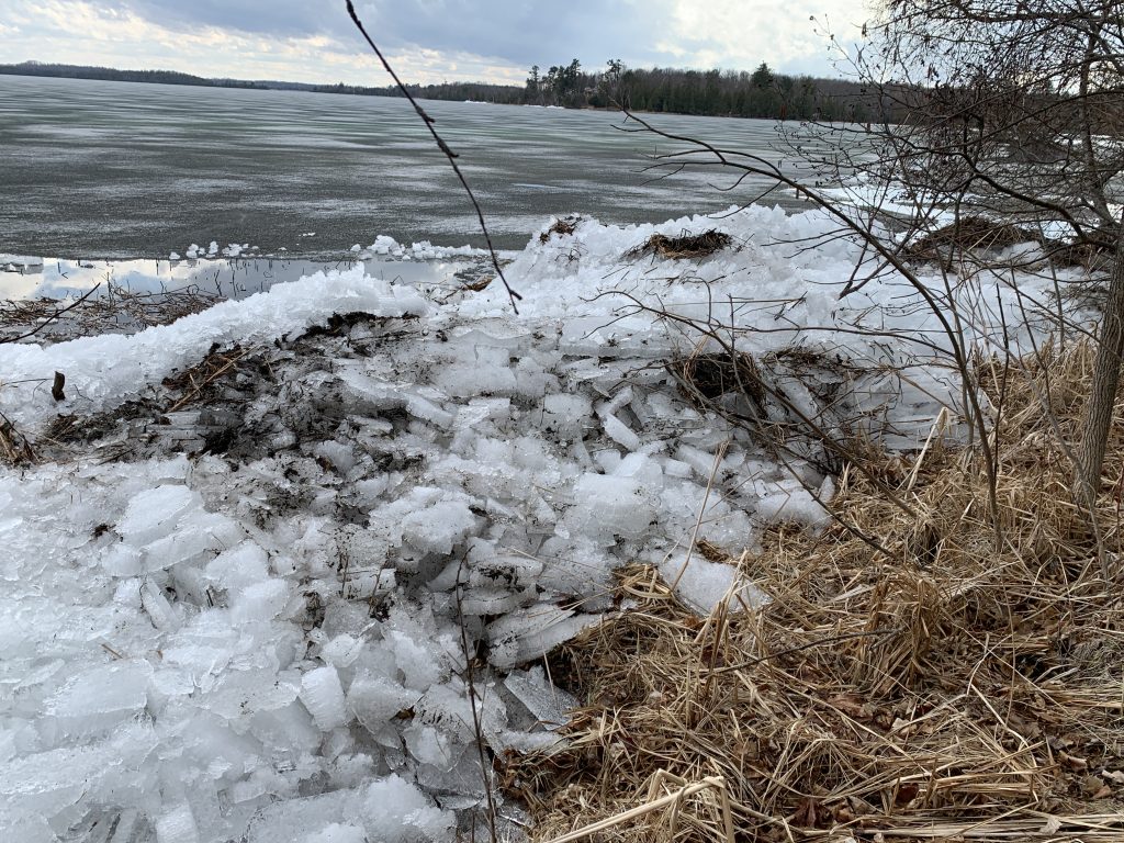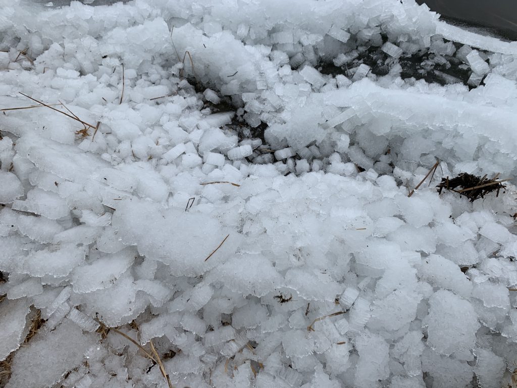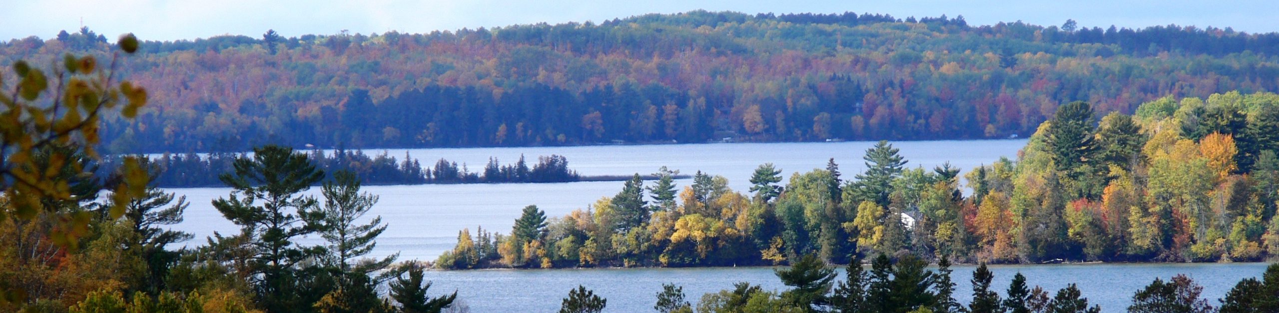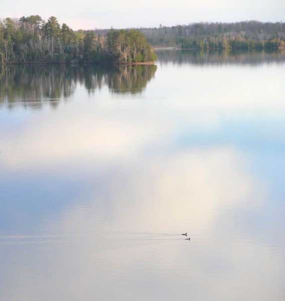
The Ice on Deer Lake gradually became darker and darker, with open water along much of the shoreline. Then it began to travel around and about buffeted by the wind, and crashing into random locations where the ice-cubes piled up, sometimes damaging the shore. A day of steady rain (April 27) finished the ice off, with the Loons now returned and very happy!
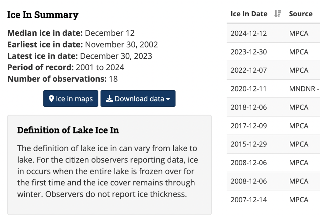
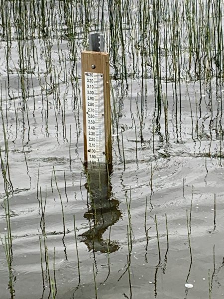
Information on Deer Lake, including ICE-IN and ICE-OUT data, can be found here: https://www.dnr.state.mn.us/lakefind/lake.html?id=31071900https://www.dnr.state.mn.us/lakefind/lake.html?id=31071900
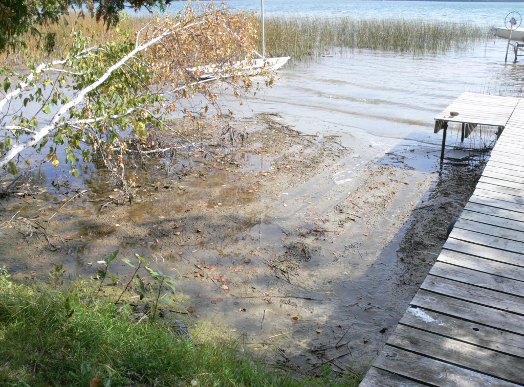
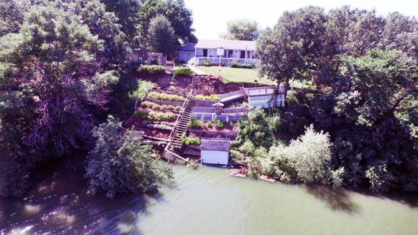
The DNR allows property owners to remove or grade ice ridges (ice damage) without an individual permit if the ridge formed within the last year, affects less than 200 feet of shoreline, and materials are properly placed above the ordinary high water level (OHWL). However, sometimes it is better to leave the ridge as a natural (and free) buffer that stops run-off and storm-water from directly entering the lake along with dirt, sand, lawn chemicals and debris.
Further information on ICE RIDGES can be found here: https://files.dnr.state.mn.us/publications/waters/shoreline_alterations_ice_ridges.pdf